Welcome to the
Natural Hazards Portal
Te tuhua i nga mea o mua
kia pai ake ai nga korero mo te heke mai
-
View settled claims and natural hazards
-
What natural hazard risk information means for you

-
Learn about hazards and their impacts


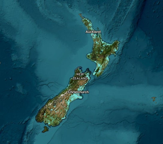
Natural hazard maps for Bay of Plenty (pilot)
Natural hazard maps are available for the Bay of Plenty as part of a pilot. The pilot tests how local natural hazard information can best be presented on the Portal.
Current natural hazards shown for the Bay of Plenty are:
- Active faults
- Earthquake shaking
- Liquefaction
- Tsunami
- Volcanic activity
- Hydrothermal activity
Flooding and landslide maps will be added in future updates. Natural hazard maps for other regions will be added over time.
NHC claims data covers the whole of New Zealand.
